Map Prints Make Excellent Gifts
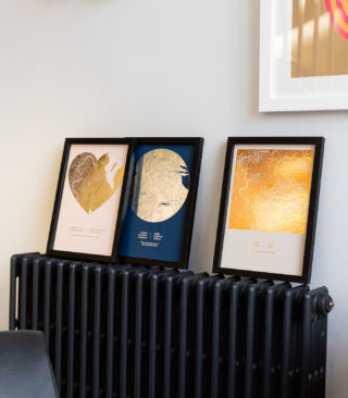
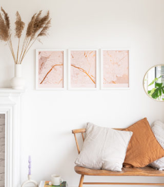
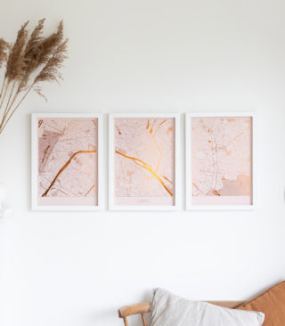
Map art makes an amazing present for just about any occasion, from a first home gift to a retirement memento. You can show a whole city on one map, or spread your favourite city across an entire wall with a triptych. Zoom into your old neighbourhood and show your mam’s street and the local park, where you walked Sparky as a kid. Maybe, you want to show the coastal path where you said “Yes!”. Are you, or someone you love an avid traveller? There’s a map print for that.

Your favourite place is unique both geographically, and in terms of its urban development.
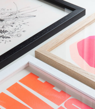
Map art should be a fitting tribute to your memories, regardless of how many roads there are, or the topology of the area. This is why we have three different map styles, and within these styles we adapt the elements to make the best looking artwork possible for the area you want to include.
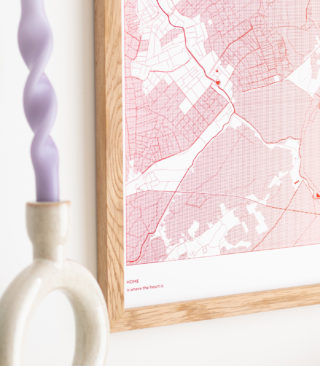
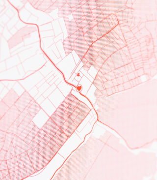
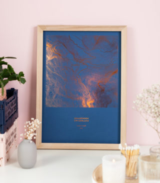
The Land Map Style
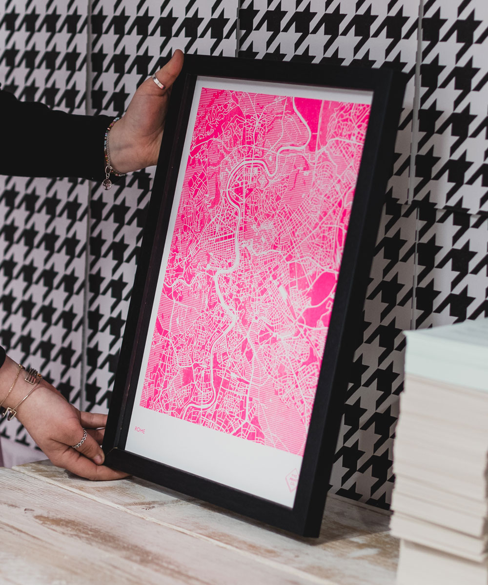
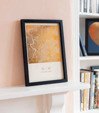
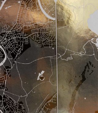
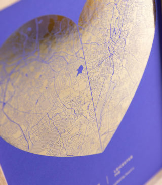
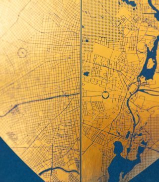
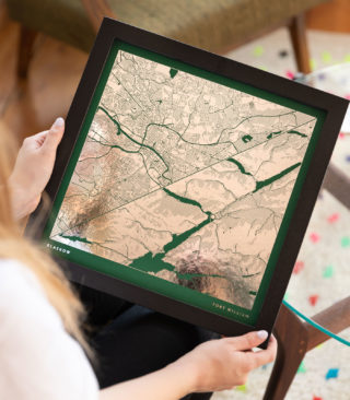
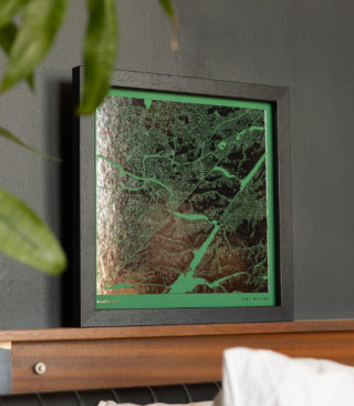
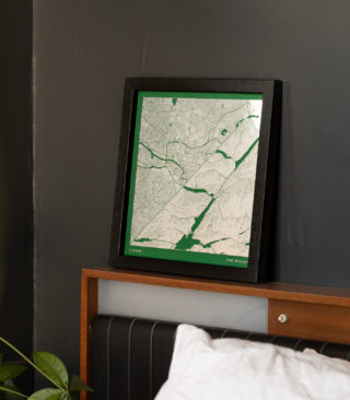
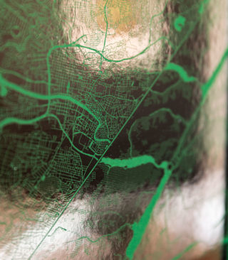
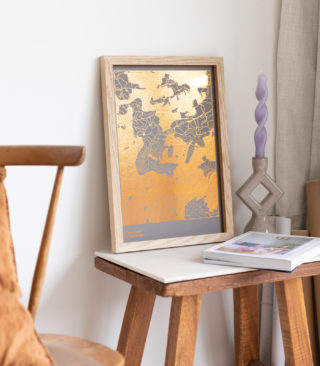
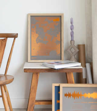
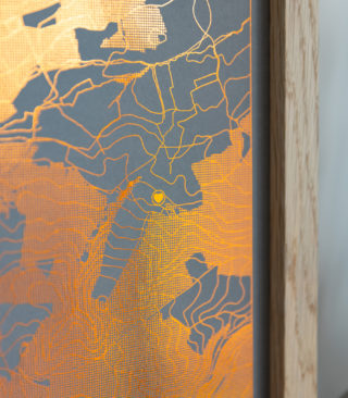
The land map was the original Yve Print Co. map style. We flood the land area with colour, or foil, and the roads and rivers cut through this so you can see the paper colour underneath. On certain grasslands, we add dots for texture and interest.


Rural and Urban Locations
If your area is an urban city, you’ll see lots of roads of varying widths, rivers and any sections of water. Parks and recreation fields usually have the dotted texture. If your location is rural, it will be a mix of dotted and solid background with fewer roads and any waterways snaking through the the area. The land map style looks great on urban and rural areas alike.
-
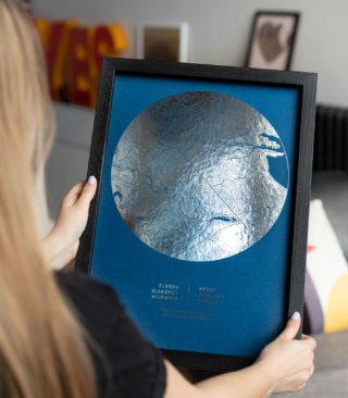
Metallic Foil Two Location Map Print
£25.00 – £74.17 -
Metallic Foil Double Map Circle Print
£25.00 – £74.17 -
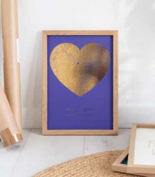
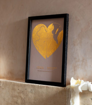
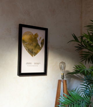
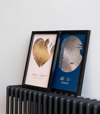
Metallic Foil Double Map Heart Print
£23.33 – £74.17 -
Square Metallic Foil Double Map Print
£29.17 – £65.00
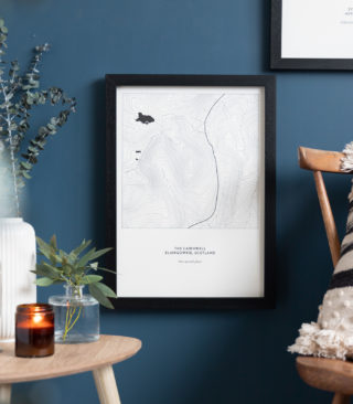
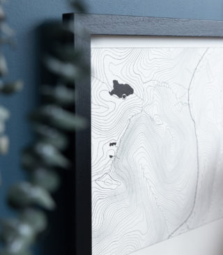
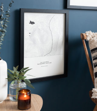
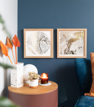
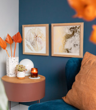
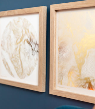
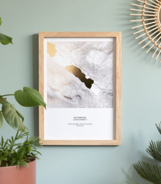
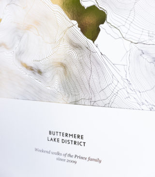
The Topographic Map
Our topo map style makes the most of hilly and mountainous areas. In addition to the topographic lines, we only include major roads, and water areas. With our topographic map prints, we want to make the most of dramatic vertical geography. The topographic lines are joined at the same elevation above sea level. On hills and mountains, you see ever decreasing circles. Topographic prints make beautiful images, and are perfect when the area you want in your map has a good mix of elevation.


-
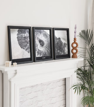
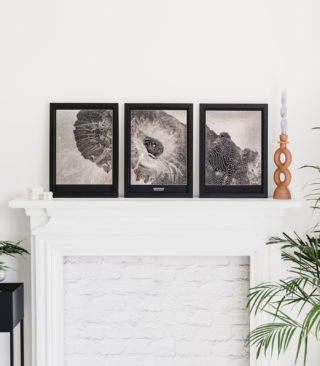
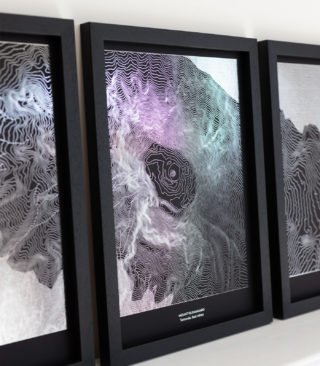
Mount Kilimanjaro Metallic Foil Map Print Textures Triptych
£60.00 – £185.00 -
Custom Metallic Foil Textures Style Map Print Triptych
£60.00 – £185.00 -
Textures Style Full Rectangular Metallic Foil Map Print
£23.33 – £72.50 -
Textures Style Full Rectangular Risograph Map Print
£33.33 – £74.17
-
Risograph Topographic Terrain Map Print
£33.33 – £74.17 -
Square Risograph Topographic Map Print
£29.17 – £65.00 -
Square Metallic Foil Topographic Map Print
£29.17 – £65.00 -
Metallic Foil Topographic Terrain Map Print
£15.00 – £72.50


 No products in the basket.